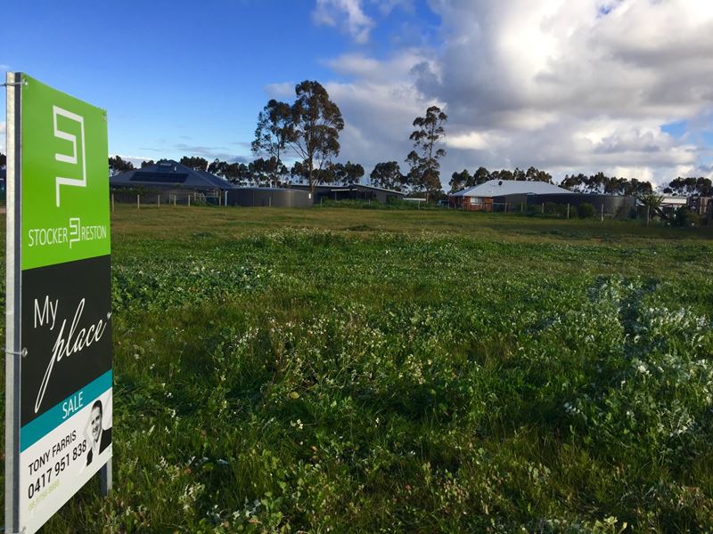
2011M2 NORTH FACING - FULLY FENCED GEM!
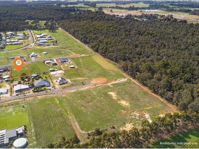
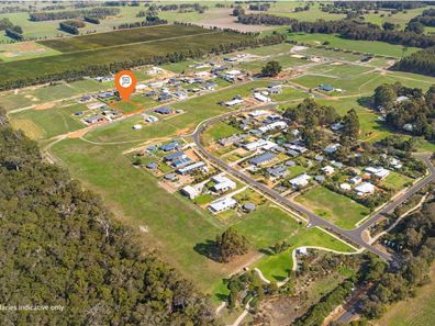
Superb half acre 2011m2 semi-rural block only 8 minutes from Margaret River.
Located in the heart of the Margaret River Region, step into the rural life today and escape to South West WA.
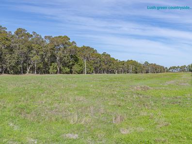
A north facing property with treetops bushland vistas and street fronting northern aspect. The block offers rural style fencing to the southern, eastern and western boundaries plus sealed driveway entry cross over and serviced with underground power, NBN and Telstra.
The land is cleared and providing a low fire rating plus there is just loads of space for your future country home. Blocks of this size offer plenty of extra room for your huge workshop, gardens or orchard, ancillary studio and your rural extras, ideally located less than 10 minutes to Redgate Beach and Margaret River town centre.
Walk to Witchcliffe town centre for coffee and lunch or enjoy a tranquil walk through nature reserve along the Wardandi trails amongst beautiful rural countryside and farmland.
For immediate assistance please contact Tony Farris on 0417 951 838 as titled blocks are hard to find!
Listing snapshot by reiwa.com
This land listing located in Margaret River was sold by Tony Farris at Ray White Stocker Preston.
If you would like to get in touch with Tony Farris regarding 14 McDowell Road, Witchcliffe, Margaret River, please call 0417 951 838 or contact the agent via email.
Margaret River overview
The townsite of Margaret River is located in the south west agricultural area, 277 kilometres south southwest of Perth and 48 kilometres south southwest of Busselton. It is located on the Margaret River from which it derives its name. The precise origin of the naming of the river is not known, but it was possibly named by John Bussell in honour of Margaret Wyche, a friend in England who was expected to follow the Bussell's to Australia. The name is first shown on a map of the region published in 1839.
In 1910 the Margaret River Progress Association wrote to the Minister for Lands requesting a townsite be declared at "the Upper Margaret Bridge". The reason given was that "the district is likely to be dotted with public buildings several miles apart in the near future if a townsite is not made available shortly". The District Surveyor who inspected the area preferred an area near the lower bridge on Caves Road, but this land was not available. Lots were surveyed in 1912, and the Townsite of Margaret River gazetted in 1913. In 1918 the name of the townsite was changed to "Margaret", but it was changed back to Margaret River in 1927, due to local usage of the name always being Margaret River.


