Fabulous Rare Earth!
With the Margaret River real estate market surging to levels not seen since before the Global Financial Crisis, securing a residential property of this size on the Beach side of Caves Road is almost impossible!
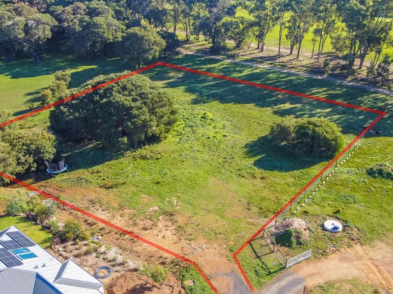
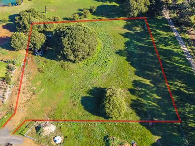
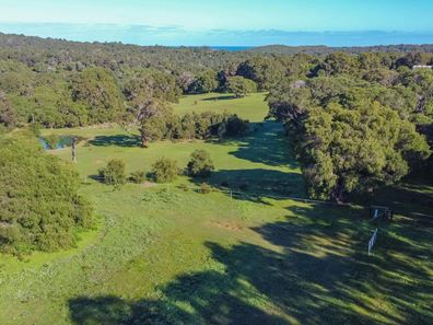
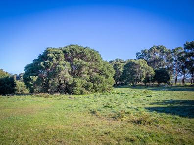
Tucked away at the rear of a quiet and beautiful enclave just off of Caves Road, this 4932 sqm well positioned vacant land has a fantastic outlook over neighbouring farmland and dam to the Leeuwin Naturaliste Coastal Ridge to the west.
There is an abundance of space upon which you can comfortably build a beautiful home and a large shed to house your caravan, boat, jet ski or work trailer - or even set up the ultimate workshop !
For your convenience, the property has access to reticulated Town water, and power runs to the site boundary.
This is a brilliant opportunity to create an amazing future for your family in one of the most sought after locations in Margaret River, positioned equidistant between Town and the beaches of Prevelly and Surfers Point - and its just a minute or two from the most attractive golf course in the southwest!
For more information and to arrange an inspection, call Mitch Thorson on 0438 238 483.
Listing snapshot by reiwa.com
This land listing located in Margaret River was sold by Mitch Thorson at Mack Hall Real Estate in assoc. with Knight Frank.
If you would like to get in touch with Mitch Thorson regarding 12 Offshore Crescent, Margaret River, please call 0438 238 483 or contact the agent via email.
Nearby schools
Margaret River overview
The townsite of Margaret River is located in the south west agricultural area, 277 kilometres south southwest of Perth and 48 kilometres south southwest of Busselton. It is located on the Margaret River from which it derives its name. The precise origin of the naming of the river is not known, but it was possibly named by John Bussell in honour of Margaret Wyche, a friend in England who was expected to follow the Bussell's to Australia. The name is first shown on a map of the region published in 1839.
In 1910 the Margaret River Progress Association wrote to the Minister for Lands requesting a townsite be declared at "the Upper Margaret Bridge". The reason given was that "the district is likely to be dotted with public buildings several miles apart in the near future if a townsite is not made available shortly". The District Surveyor who inspected the area preferred an area near the lower bridge on Caves Road, but this land was not available. Lots were surveyed in 1912, and the Townsite of Margaret River gazetted in 1913. In 1918 the name of the townsite was changed to "Margaret", but it was changed back to Margaret River in 1927, due to local usage of the name always being Margaret River.


