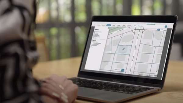
Dive deeper with interactive maps
reiwa.com’s unique interactive maps are a game changer. Developed by NGIS, specialists in mapping and geo-spatial applications, the maps incorporate data from various sources such as Landgate, Google, REIWA and the Department of Education, to deliver a unique experience not available in other property portals. You can save significant time in research and phone enquiries that you would otherwise be making to multiple Government departments. The information provided includes property dimensions and zoning, utilities such as power and water, transport routes, bush fire and flood areas, easements and any planned changes to the area, nearby schools, lifestyle amenities and a lot more. Dive in and get started!
NGIS have a professional and flexible approach, and their agile team worked in partnership with REIWA to resolve complex issues and provide valuable guidance and advice throughout the project. The result is a big win for members of the public, who have unprecedented access to everything they need to know about a property from a single source - being reiwa.com.
