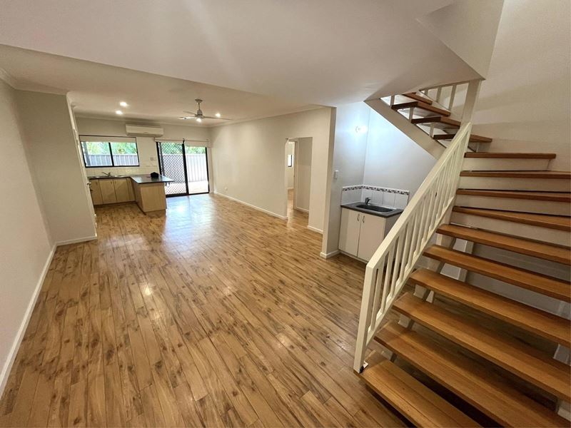
Townhouses for sale in Kununurra, WA 6743
Home to 5,308 residents, Kununurra is a town in regional Western Australia with 1 houses & properties for sale in the area and surrounding suburbs. Kununurra covers an area of 2,175 square kilometres which comprises 2,146 homes and private dwellings.
Over the past year, Kununurra has experienced a 15% annual growth rate with a median house price of $460,000.
For more information about Kununurra, including sales data, facts, growth rates, nearby transport and nearby shops, please view our Kununurra profile page. You may also wish to view sold properties, houses for rent in Kununurra or REIWA agents servicing the area.
1-1 of 1 results
Sort by:
Kununurra overview
The townsite of Kununurra is located in the Kimberley region in the extreme northeast of the state, 3214 kilometres from Perth. When the Ord River Irrigation scheme was being planned in the 1950s a townsite was included in the proposed development. Amongst other submissions of Aboriginal names put forward for the new townsite being created in the vicinity of the Ord River Dam was "Cununurra", said to mean "black soil" and to be the Aboriginal name for the Ord River according to Mary Durack. A Mr. Lewis of the Public Works Department reported that a soil survey undertaken in 1954 had disclosed that 99 per cent of the land to be irrigated from the dam was composed of "cununurra clay". This name was not favoured by the Postmaster-General's Department because of its similarity to place names in Queensland, New South Wales and South Australia. However, to compromise, that department suggested adopting the spelling, "Kununurra", this version being approved in March 1960. The townsite was gazetted in 1961.
Kununurra quick stats
15.0 %Sales growth
$460k* Median sales price
-13.3 %Rental growth
$520pw* Median rental price
Back to top
