FINAL OFFER STAGE WEDNESDAY 29 SEPTEMBER 2021
Down by the Margaret River
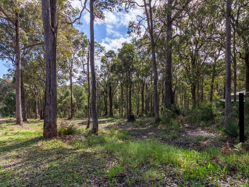
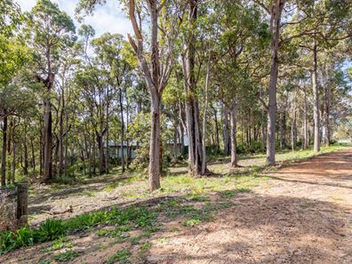
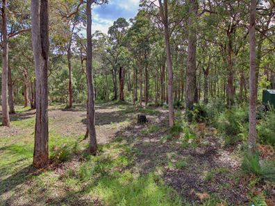
Nestled in an exclusive enclave fronting the Margaret River Foreshore this stunning 2000m2 bushland block captures the essence of the South West Australian lifestyle.
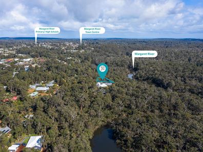
With river glimpses at the lower level through the tree canopy this north facing and sloping block is one of the only blocks left in Margaret River with direct access to the river for swimming, stand up paddling, kayaking and canoeing. You can walk straight out your door for a leisurely walk along the river foreshore, or jump on your mountain bike and join one of the trails up to the Rotary Park, Hairy Marron Café, Margaret River Brewhouse or 10 Mile Brook Dam.
Being an easy 20 minute stroll or 3 minute drive to the town centre, the opportunity awaits you to build an amazing home and start living the life you have always dreamed of.
TITLED AND READY TO BUILD
A Bushfire Management Plan including a BAL Assessment is available for viewing after signing a confidentiality deed.
*This superb property is for sale by Openn Offers (an online sales process). It can sell to any Qualified Buyer at any time. Register your interest at the Openn App/Website or contact the sales agent IMMEDIATELY to avoid missing out.
Click on the Video Button at the top to experience the beautiful river..
Property features
Listing snapshot by reiwa.com
This land listing located in Margaret River was sold by Sarah Twine and Clare Andrews at Ray White Stocker Preston.
If you would like to get in touch with Sarah Twine or Clare Andrews regarding 4 Waters Edge, Margaret River, please call Sarah on 0439 926 836 or call Clare on 0448 023 265, or contact the agent via email.
Cost breakdown
-
Water rates: $1,463 / year
Nearby schools
Margaret River overview
The townsite of Margaret River is located in the south west agricultural area, 277 kilometres south southwest of Perth and 48 kilometres south southwest of Busselton. It is located on the Margaret River from which it derives its name. The precise origin of the naming of the river is not known, but it was possibly named by John Bussell in honour of Margaret Wyche, a friend in England who was expected to follow the Bussell's to Australia. The name is first shown on a map of the region published in 1839.
In 1910 the Margaret River Progress Association wrote to the Minister for Lands requesting a townsite be declared at "the Upper Margaret Bridge". The reason given was that "the district is likely to be dotted with public buildings several miles apart in the near future if a townsite is not made available shortly". The District Surveyor who inspected the area preferred an area near the lower bridge on Caves Road, but this land was not available. Lots were surveyed in 1912, and the Townsite of Margaret River gazetted in 1913. In 1918 the name of the townsite was changed to "Margaret", but it was changed back to Margaret River in 1927, due to local usage of the name always being Margaret River.


