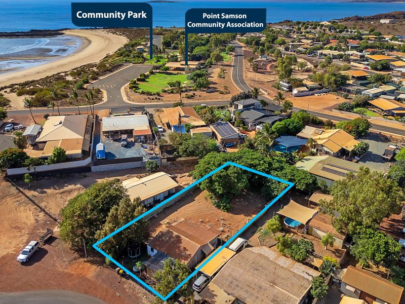
Houses for sale in Point Samson, WA 6720
Home to 231 residents, Point Samson is a town in regional Western Australia with 3 houses & properties for sale in the area and surrounding suburbs. Point Samson covers an area of 23 square kilometres which comprises 119 homes and private dwellings.
Over the past year, Point Samson has experienced a -12.6% annual growth rate with a median house price of $605,000.
For more information about Point Samson, including sales data, facts, growth rates, nearby transport and nearby shops, please view our Point Samson profile page. You may also wish to view sold properties, houses for rent in Point Samson or REIWA agents servicing the area.
Point Samson overview
The townsite of Point Samson is located on the Pilbara coast, 1579 kilometres north of Perth and 18 kilometres north of Roebourne. By around 1900 the nearby port of Cossack was beginning to silt up and was inconvenient for the shipping of stock. In 1902/03 the government erected a jetty into deeper water at Point Samson, and this was proposed to be the port for the area. There was soon demand for lots at Point Samson, a tramline was erected to the jetty from Roebourne, but the survey and selling of lots was delayed because of the impact of Point Samson replacing Cossack. The townsite was finally gazetted as Point Sampson in 1909.
The name Point Samson honours Mr Michael Samson, a member of a prominent Fremantle family. The point was named during Walter Padbury's expedition to Nicol Bay in 1863. Mr Samson was the second officer of their ship, the "Tien Tsin". The point was misspelled on maps as Sampson, and this error persisted for many years, including being used when the townsite was gazetted in 1909. The error was brought to the governments attention by Michael samson's widow in 1918, and both the point and the townsite were corrected to Point Samson in April 1918.
Point Samson quick stats
Back to top
